
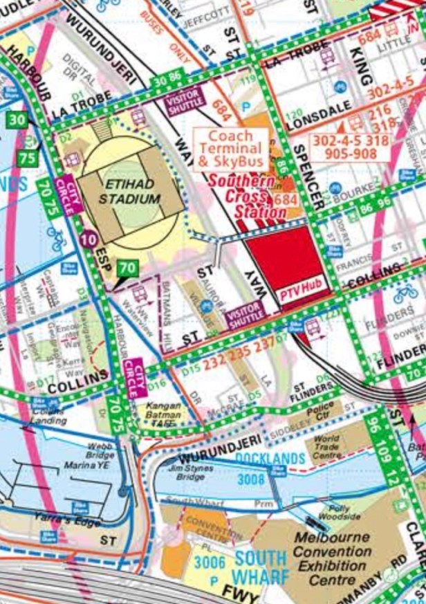
Armed with my map I went exploring on Tuesday.
I rode from my place to the MCEC. Then I crossed the river at Webb bridge (left of map)
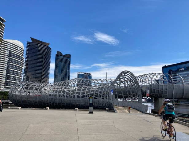
That took me over to the Docklands. Link to design of the bridge.
https://www.architonic.com/en/project/denton-corker-marshall-webb-bridge/5100801
It was a worry riding up the bridge as the path is narrow and had to accommodate pedestrians and cyclists coming from both direction! As the lane to the left is only for the disabled.
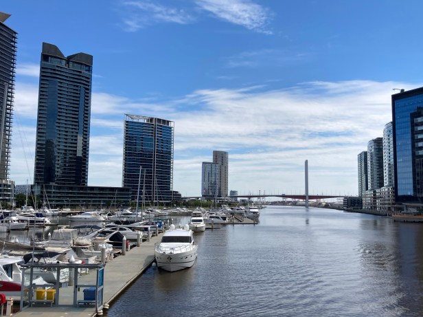
Views from the bridge
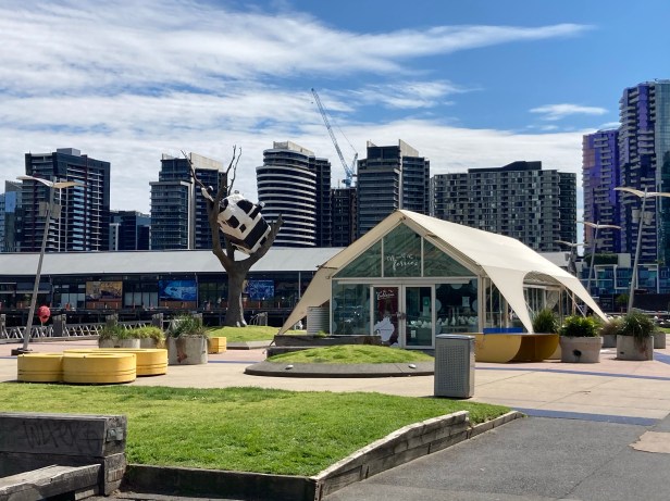
It was bike path off road all the way. The cow up the tree.
https://www.atlasobscura.com/places/cow-up-a-tree
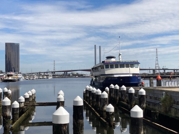
Also where the ferry to Geelong docks. Then I rode along Latrobe to get to Spencer St. It was on road but between the kerb and car parks so quite safe.
It was a struggle. At one stage I didn’t think I’d get up to the top of the hill! From Spencer I rode on the pavement to Dudley where I was planning to go.
The solid lines on the map means off road bike paths. The broken lines means on road. The dots means routes taken by cyclists.
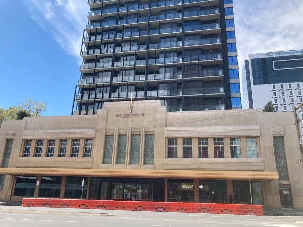
The nice frontage of where I buy my banh mi.
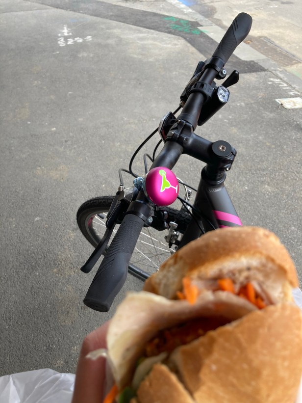
I walked with my banh mi to go eat in the park.
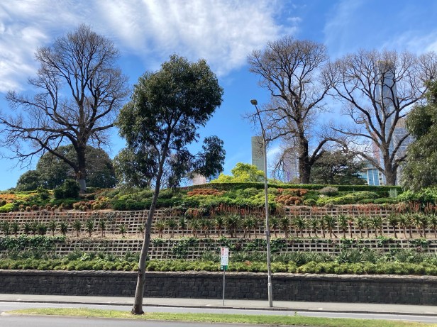
Except I didn’t make it! So sat looking on to the edge of the park. It’s the Flagstaff Gardens. Highest point so they could look out to the bay. The flagstaff is around somewhere close by.
https://whatson.melbourne.vic.gov.au/things-to-do/flagstaff-gardens
After that I rode home as was going to meet a girl friend for a walk.
